The route
Quandary Peak (14,272 ft) sits in the Tenmile Range about eight miles south of Breckenridge, and its East Ridge is the most-climbed Class 1 route on any Colorado fourteener. The standard trail starts at the Quandary trailhead (10,850 ft) just off the Blue Lakes Road from Colorado 9 and goes about 3.4 miles one way to the summit with roughly 3,450 ft of gain. Most people do it as an out-and-back in four to six hours.
The route climbs through forest to reach the crest of the east ridge near 11,600 ft, follows the broad ridge to a flat shoulder around 13,150 ft that fools most first-timers into thinking they are close, then grinds up the final 1,000 ft of talus to the top. Above treeline the whole line is in view, which is part of why it feels long.
From mid-June through mid-September the trailhead lot is reservation-only and there is a paid shuttle from Breckenridge. Summer afternoons bring lightning, so the usual plan is a dawn start and off the summit by noon. Mountain goats are close to guaranteed.
What the sculpture shows
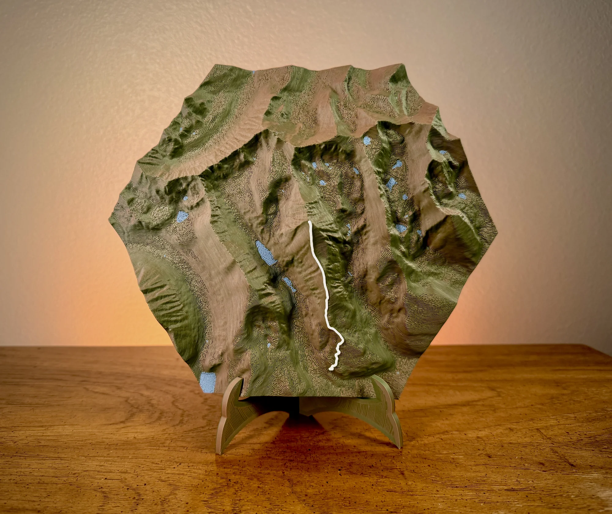
The sculpture shows Quandary's long east ridge rising out of the Blue Lakes valley, with the route as a single line up the crest; out-and-back renders as one ribbon. This is a short, steep trail with 3,400 ft of relief packed into a small area, so the mountain shows real bulk and the summit stands well clear of the terrain edge.
Choose a style
Every sculpture is built from high-res elevation data
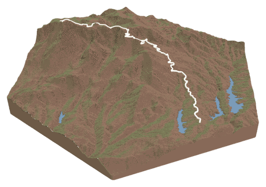 Topo + TrailYour trail across a topo landscape.FROM $49
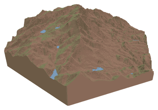 Topo OnlyA sculpture of your favorite place.FROM $49
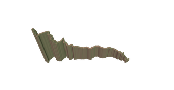 Trail OnlyYour trail's shape, climbs, and descents.FROM $39
Watch a tutorialWATCH ON YOUTUBE
Trail OnlyYour trail's shape, climbs, and descents.FROM $39
Watch a tutorialWATCH ON YOUTUBE
Choose your route
Search our verified library, add your own file, or let us design it for you.
A GPX or KML from Strava, Garmin, or AllTrails. Every switchback lands in exactly the right spot.
Add your route fileDrag & drop your .gpx or .kml file here, or click to choose How do I get my route file?
Add your route file
A GPX or KML from Strava, Garmin, or AllTrails.
Customize
Build and customize your sculpture
Customize your sculpture
Size
FREE USA SHIPPINGTerrain color
Trail color
Details
TAP TO ADDCheckout
Designed and built in Colorado · free USA shipping
Add it to your cart
Quandary Peak Trail FAQs
About this route and how it renders.
Does it include the descent?
The trail is the same up and down, so the sculpture shows one line from the trailhead to the summit. There is no second ribbon for the way back.
Can I see the false summit?
Yes. The flat shoulder around 13,150 ft is a visible step on the ridge below the true summit, and the treeline bench near 11,600 ft shows as the break where the forest ends. Both are easy to find by tracing the line.
Which size suits this hike?
Small works well here because the relief is big and the route is short. Medium adds the Blue Lakes basin and the neighboring Tenmile peaks around it; larger sizes are for people who want the whole ridge to read at arm's length.
I went up the West Ridge or Cristo Couloir. Can I get that?
Yes. Record the climb, export the GPX or KML from your watch, upload it in the Studio, and the sculpture follows your line on the same mountain.
FAQs
Routes, sizes, shipping, and engraving.