The route
The Pikes Peak hill climb has run since 1916, which makes it the second-oldest motor race in the United States. The current course starts at the Mile 7 marker on the Pikes Peak Highway, at 9,390 ft, and finishes at the summit, 14,115 ft. That is 12.42 miles, 156 turns and 4,720 ft of climbing at an average grade of 7.2 percent. The road was fully paved by the 2012 race.
Drivers break the course into sections everyone knows: the lower forest up to Glen Cove, the tight switchbacks of the W's above treeline, the long open stretch past Devil's Playground, and the last exposed miles to the summit house. Thin air costs engines up to 30 percent of their sea-level power by the top, and weather can swing from sun to snow in the same run.
The race is held in late June, one car at a time against the clock. Practice is split into thirds over the preceding week, so race day is the only time competitors drive the full course bottom to top in one go.
What the sculpture shows
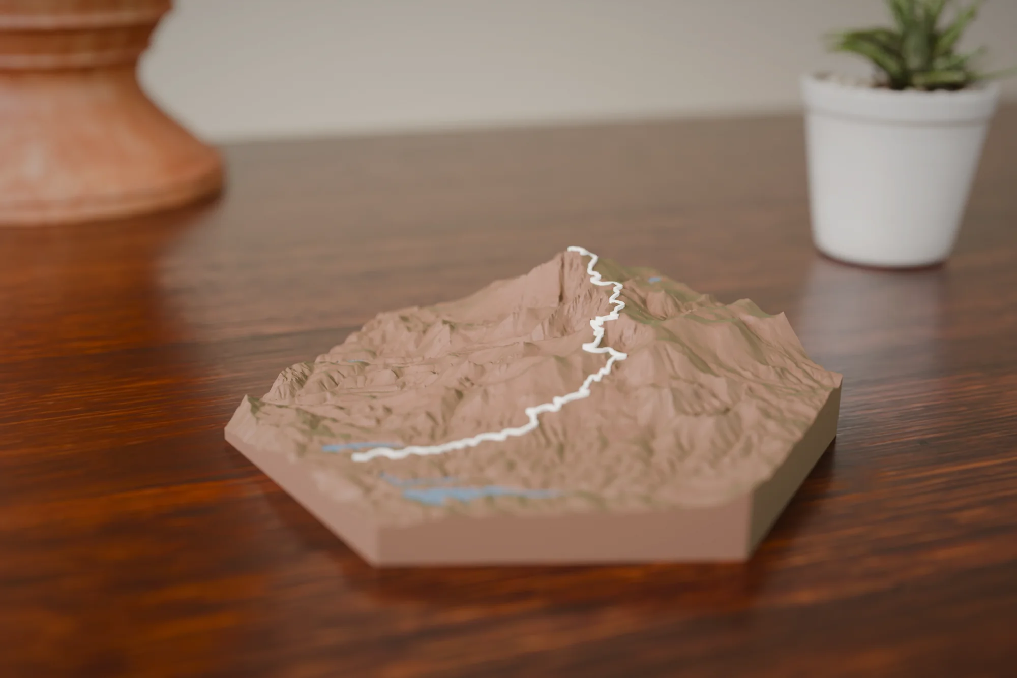
The sculpture shows the east face of Pikes Peak with the highway as one continuous line climbing from the Mile 7 start to the summit. The W's switchbacks and the big traverse past Devil's Playground are easy to pick out. At 12.4 miles the terrain is compact enough that the mountain shows real relief rather than reading as a range.
Choose a style
Every sculpture is built from high-res elevation data
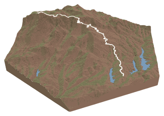 Topo + TrailYour trail across a topo landscape.FROM $49
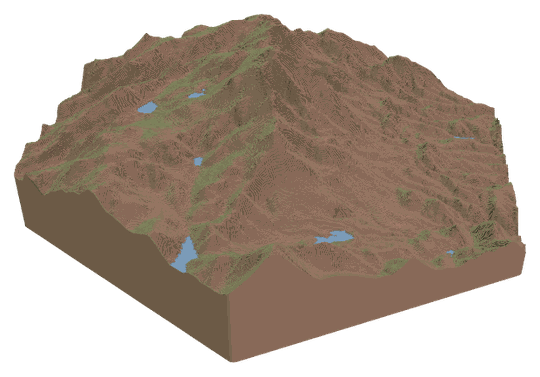 Topo OnlyA sculpture of your favorite place.FROM $49
 Trail OnlyYour trail's shape, climbs, and descents.FROM $39
Watch a tutorialWATCH ON YOUTUBE
Trail OnlyYour trail's shape, climbs, and descents.FROM $39
Watch a tutorialWATCH ON YOUTUBE
Choose your route
Search our verified library, add your own file, or let us design it for you.
A GPX or KML from Strava, Garmin, or AllTrails. Every switchback lands in exactly the right spot.
Add your route fileDrag & drop your .gpx or .kml file here, or click to choose How do I get my route file?
Add your route file
A GPX or KML from Strava, Garmin, or AllTrails.
Customize
Build and customize your sculpture
Customize your sculpture
Size
FREE USA SHIPPINGTerrain color
Trail color
Details
TAP TO ADDCheckout
Designed and built in Colorado · free USA shipping
Add it to your cart
Pikes Peak Hill Climb FAQs
About this route and how it renders.
Does it show the whole highway or just the race course?
The race course only: from the Mile 7 start line to the summit. The lower seven miles from the toll gate are not on the ribbon. If you want the full highway from the gate, record it or export the GPX, upload it in the Studio, and the sculpture follows your file.
Can I find the W's on it?
Yes. The W's are the tightest cluster of switchbacks on the piece, just above treeline on the way to Devil's Playground. Glen Cove, the Devil's Playground traverse and the final turns below the summit house are also easy to trace with a finger.
Is this the paved course or the old gravel one?
The route follows the current highway, fully paved since 2011. The gravel-era line differed only in small places, so a run from the dirt years looks the same at this scale. If your file predates the paving and you want that exact line, upload it.
Which size suits this course?
The course is short and steep with a lot of relief, so it reads well at every size. Medium and up give the switchbacks room to separate; the XL shows individual turns clearly enough to count them.
Can I put my time or class on it?
The engraving line in the Studio takes any short text: your time, class, year, car number, or the driver's name. Enter it in the configurator when you set colors and size.
FAQs
Routes, sizes, shipping, and engraving.