The route
Mount Elbert is the highest peak in Colorado and the second highest in the lower 48 at 14,438 ft. The standard route is the Northeast Ridge from the North Mt. Elbert trailhead at 10,040 ft, near Halfmoon Creek southwest of Leadville. It is about 9.75 miles round trip with roughly 4,500 ft of gain, all Class 1 walking with no scrambling.
The route is an out-and-back. It follows the Colorado Trail south from the parking area, crosses a footbridge, and switchbacks up to about 10,600 ft where the North Mt. Elbert Trail splits off to the right. From there it climbs through forest to treeline near 11,900 ft and gets onto the ridge. The steep, rocky stretch between 13,400 and 13,800 ft is where most people slow down, and the two false summits above it are well known. The grade eases past a flat spot near 13,900 ft, then one last push to the top.
Most people start at or before first light and plan on six to nine hours. Coming down, the East Ridge trail peels off just below the summit; stay on the northeast ridge.
What the sculpture shows
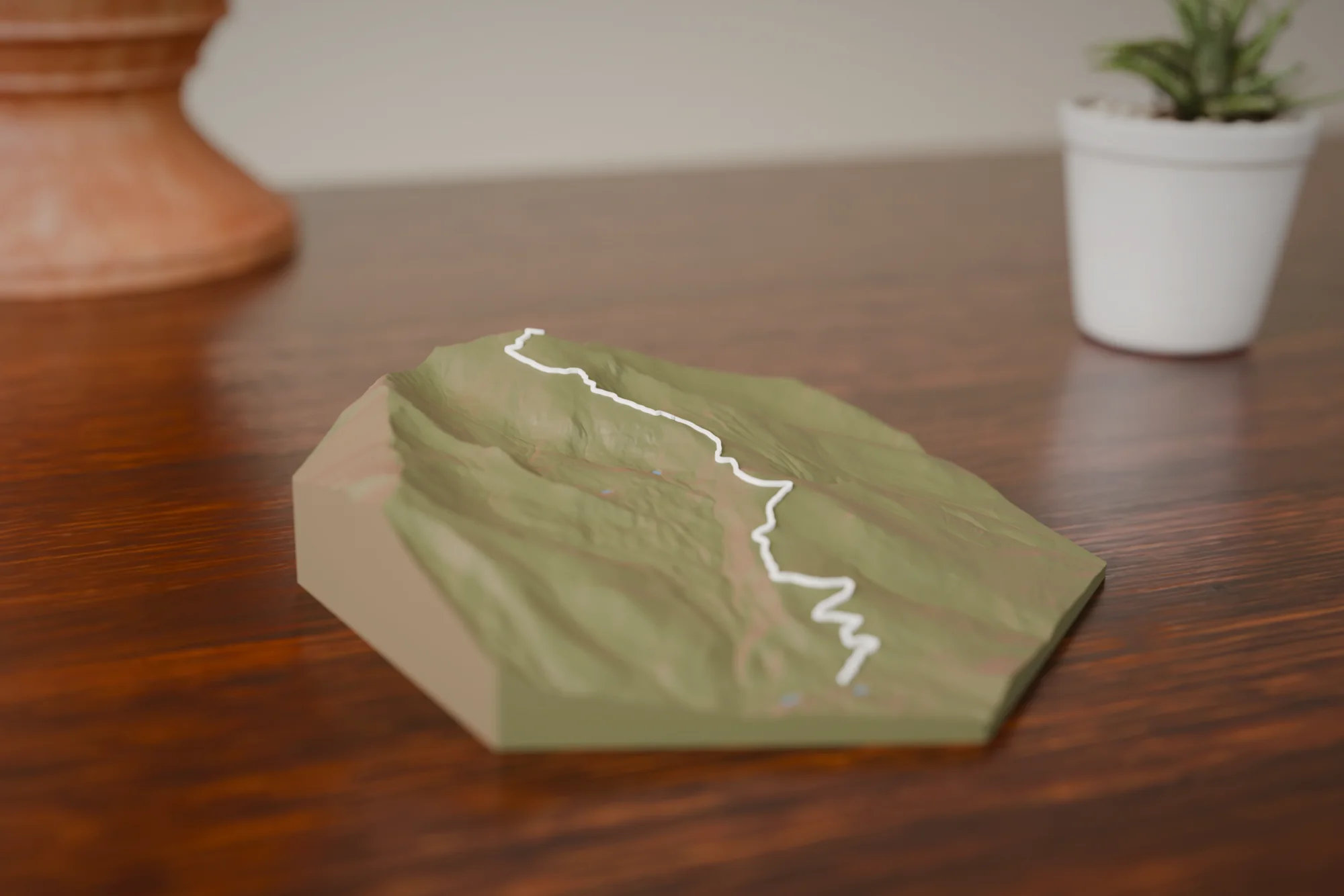
The sculpture shows the long northeast ridge rising out of the Halfmoon Creek valley to the summit, with the route as one line the whole way. The out-and-back reads as a single ribbon. This is a big, sustained climb rather than a short steep one, so the piece reads as a broad mountain with the ridge as its spine.
Choose a style
Every sculpture is built from high-res elevation data
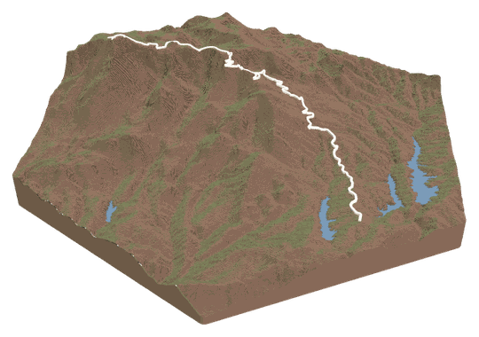 Topo + TrailYour trail across a topo landscape.FROM $49
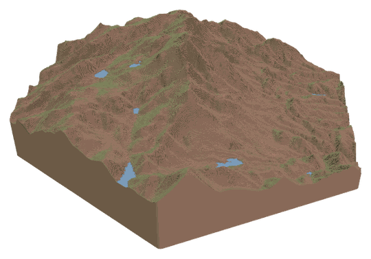 Topo OnlyA sculpture of your favorite place.FROM $49
 Trail OnlyYour trail's shape, climbs, and descents.FROM $39
Watch a tutorialWATCH ON YOUTUBE
Trail OnlyYour trail's shape, climbs, and descents.FROM $39
Watch a tutorialWATCH ON YOUTUBE
Choose your route
Search our verified library, add your own file, or let us design it for you.
A GPX or KML from Strava, Garmin, or AllTrails. Every switchback lands in exactly the right spot.
Add your route fileDrag & drop your .gpx or .kml file here, or click to choose How do I get my route file?
Add your route file
A GPX or KML from Strava, Garmin, or AllTrails.
Customize
Build and customize your sculpture
Customize your sculpture
Size
FREE USA SHIPPINGTerrain color
Trail color
Details
TAP TO ADDCheckout
Designed and built in Colorado · free USA shipping
Add it to your cart
Mount Elbert FAQs
About this route and how it renders.
Which Elbert route is this?
The Northeast Ridge from the North Mt. Elbert trailhead, the standard route. If you went up the East Ridge from the South Elbert trailhead, or the Black Cloud or Southeast Ridge routes, upload your GPX or KML in the Studio and the sculpture follows your track instead.
Does it show the Colorado Trail junction?
The route follows the Colorado Trail for the first stretch before turning up the North Mt. Elbert Trail, and that first mile is included in the ribbon. The junction itself is not labeled, but you can see where the line leaves the valley and starts climbing.
How does the out-and-back render?
As one line from the trailhead to the summit. There is no doubled ribbon, since up and down are the same trail, and the line follows the northeast ridge the whole way.
Which size suits this route?
Medium and up. The route is nearly five miles each way, so the smallest size compresses the lower forest section. Large and XL give the switchbacks, the false summits, and the neighboring Sawatch peaks room to read.
FAQs
Routes, sizes, shipping, and engraving.