The route
Mount Bierstadt's West Slopes route is the busiest 14er trail in Colorado for a reason: it starts high and stays simple. The trailhead sits on top of Guanella Pass at 11,669 ft, and the summit is 14,066 ft. Round trip is about 7.25 miles with roughly 2,850 ft of gain, all Class 2.
The route is an out-and-back. It drops east from the pass into the willow flats along Scott Gomer Creek, crossing them on boardwalk and bridges for nearly a mile, then climbs out of the willows on switchbacks near 11,800 ft. From there a well-built trail follows a broad shoulder past an overlook around 12,600 ft. Above 13,000 ft the grade steepens, and the trail zigzags up to the ridge crest near 13,750 ft.
The last 250 ft is the only real hands-on part: a scramble through summit boulders, staying on or just left of the crest. Most people start before dawn to be off the summit by early afternoon. The Sawtooth, the jagged ridge connecting Bierstadt to Mount Blue Sky, is the view east from the top.
What the sculpture shows
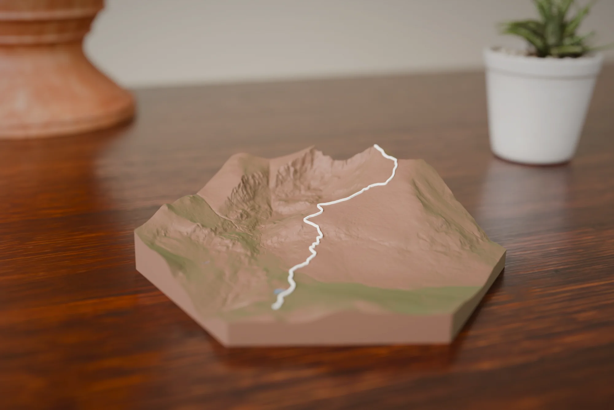
Guanella Pass and the Scott Gomer willow flats sit at the low end, with the route as one line rising to the summit block. The out-and-back reads as a single ribbon. This is a short, steep piece, so the relief is big: the Sawtooth and the drop into the Scott Gomer drainage stand out even at the small size.
Choose a style
Every sculpture is built from high-res elevation data
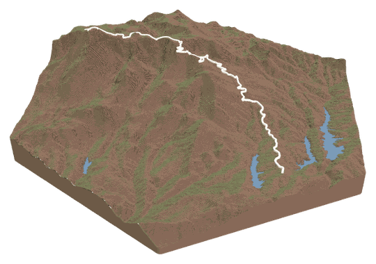 Topo + TrailYour trail across a topo landscape.FROM $49
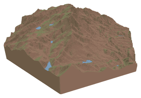 Topo OnlyA sculpture of your favorite place.FROM $49
 Trail OnlyYour trail's shape, climbs, and descents.FROM $39
Watch a tutorialWATCH ON YOUTUBE
Trail OnlyYour trail's shape, climbs, and descents.FROM $39
Watch a tutorialWATCH ON YOUTUBE
Choose your route
Search our verified library, add your own file, or let us design it for you.
A GPX or KML from Strava, Garmin, or AllTrails. Every switchback lands in exactly the right spot.
Add your route fileDrag & drop your .gpx or .kml file here, or click to choose How do I get my route file?
Add your route file
A GPX or KML from Strava, Garmin, or AllTrails.
Customize
Build and customize your sculpture
Customize your sculpture
Size
FREE USA SHIPPINGTerrain color
Trail color
Details
TAP TO ADDCheckout
Designed and built in Colorado · free USA shipping
Add it to your cart
Mount Bierstadt Trail FAQs
About this route and how it renders.
Does the sculpture include the Sawtooth and Mount Blue Sky?
The Sawtooth is on the terrain because it sits right next to the summit, and Mount Blue Sky is on the edge of the larger sizes. The route ribbon is the standard trail only. If you did the Sawtooth traverse, upload your GPX in the Studio and the ribbon will follow it.
How does the out-and-back show up?
As one line. You go up and back down the same trail, so the sculpture shows a single ribbon from the Guanella Pass parking lot to the summit. There is no doubled or overlapping line.
Which size suits this route?
Any size works because the route is compact and steep. Small and Medium show the climb clearly. Large and XL give the willow boardwalk section and the summit boulders more room, and bring in more of the surrounding ridgeline.
I hiked it from a different starting point. Can I use my own track?
Yes. Record the hike, export it as GPX or KML, and upload it in the Studio. The sculpture follows your file instead of the library route.
FAQs
Routes, sizes, shipping, and engraving.