The route
The Keyhole is the standard non-technical route on Longs Peak, the only fourteener in Rocky Mountain National Park. It starts at the Longs Peak trailhead at 9,400 ft and reaches the 14,259 ft summit in about 7 miles one way, roughly 5,000 ft of gain. Most people take 10 to 15 hours round trip, starting between 1 and 3 AM to beat afternoon lightning.
The first half is trail: through the forest, past the Chasm Lake junction at 11,550 ft, over Granite Pass to the Boulder Field at about 12,400 ft, where the marked trail ends. From the Boulder Field you scramble up to the Keyhole, the notch in the ridge between Longs and Storm Peak at about 13,200 ft, and the character of the route changes completely. Beyond it are the four named sections on the west and south faces: the Ledges, marked by painted bulls-eyes; the Trough, a 600 ft gully of loose rock; the Narrows, an exposed ledge across the south face; and the Homestretch, the slabby final 300 ft to the flat summit.
It is a Class 3 out-and-back, and the Park Service treats it as a climb, not a hike. Most accidents happen on the descent, so be careful!
What the sculpture shows
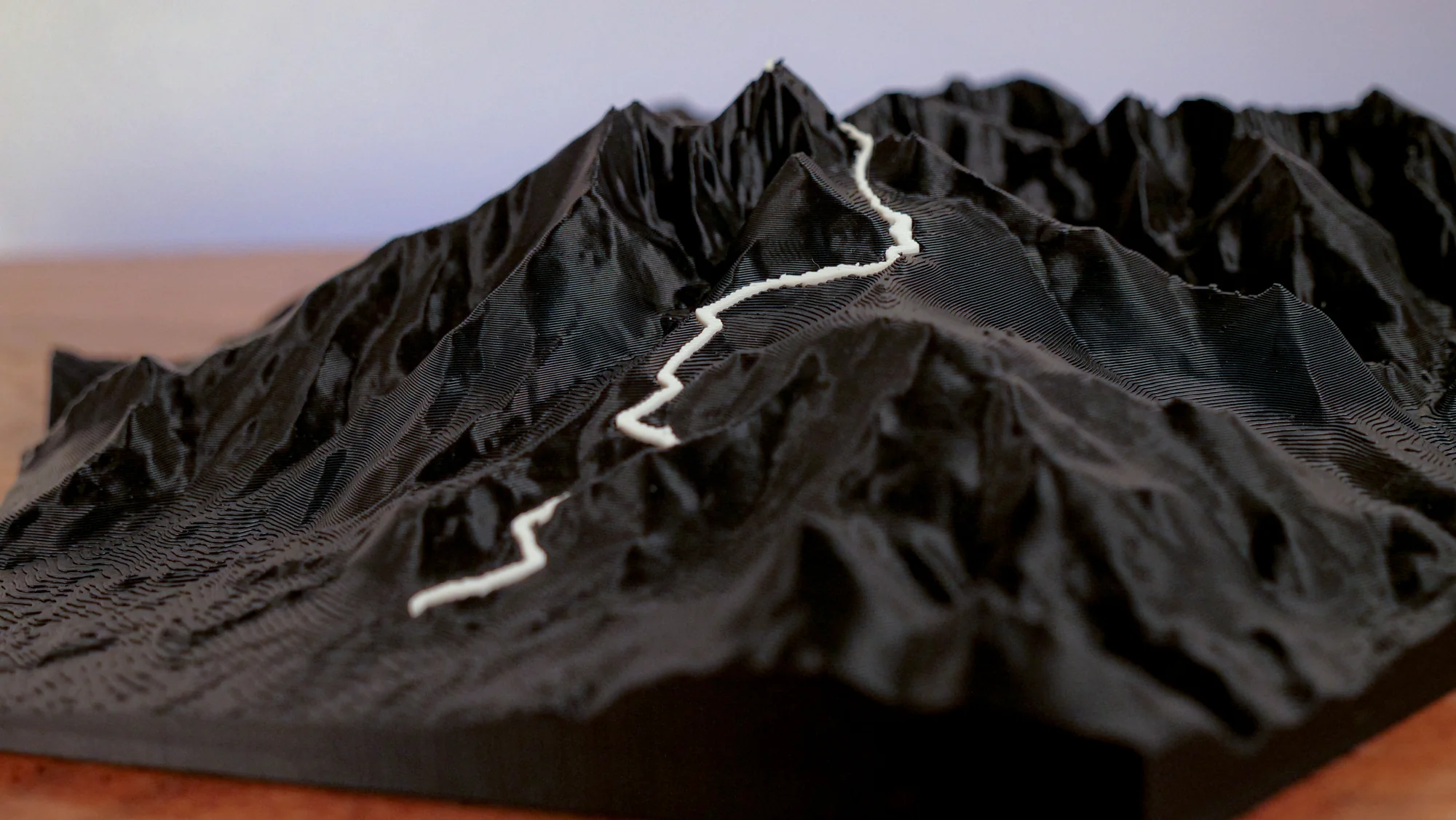
One line climbing from the forest to the Boulder Field, then wrapping around the back of the peak through the Keyhole to the summit, so the ribbon disappears behind the mountain from the trailhead side. The Diamond, the east face above Chasm Lake, is the standout feature and reads well. Short and steep, so relief is big at every size.
Choose a style
Every sculpture is built from high-res elevation data
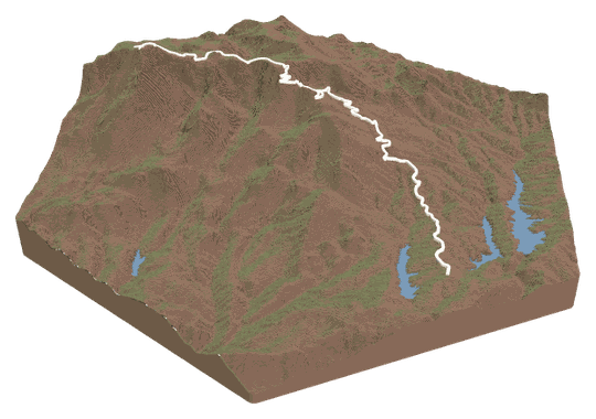 Topo + TrailYour trail across a topo landscape.FROM $49
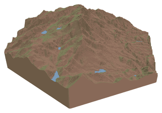 Topo OnlyA sculpture of your favorite place.FROM $49
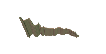 Trail OnlyYour trail's shape, climbs, and descents.FROM $39
Watch a tutorialWATCH ON YOUTUBE
Trail OnlyYour trail's shape, climbs, and descents.FROM $39
Watch a tutorialWATCH ON YOUTUBE
Choose your route
Search our verified library, add your own file, or let us design it for you.
A GPX or KML from Strava, Garmin, or AllTrails. Every switchback lands in exactly the right spot.
Add your route fileDrag & drop your .gpx or .kml file here, or click to choose How do I get my route file?
Add your route file
A GPX or KML from Strava, Garmin, or AllTrails.
Customize
Build and customize your sculpture
Customize your sculpture
Size
FREE USA SHIPPINGTerrain color
Trail color
Details
TAP TO ADDCheckout
Designed and built in Colorado · free USA shipping
Add it to your cart
Longs Peak — Keyhole Route FAQs
About this route and how it renders.
Which part of the climb is included?
The full route, trailhead to summit, one way. The descent follows the same route, so the out-and-back renders as one line. The Chasm Lake spur is not included unless you upload your own track.
Can you see the Keyhole and the Narrows on the sculpture?
The Keyhole is where the ribbon crosses the ridge from the Boulder Field to the west face, and it is a visible notch in the terrain. The Ledges, Trough, and Narrows wrap around the back of the peak, so in most orientations you see them from behind or by turning the piece.
Does it show the Diamond and Chasm Lake?
Yes. The east face is the tallest, steepest feature in the piece and Chasm Lake sits at its base, just below the route. The trail passes above the lake on its way to Granite Pass.
Which size suits this route?
All of them, because the mountain is compact and the relief is close to a mile. Medium is a good default. Large and XL give the Boulder Field and the Trough enough room that you can trace the scramble section.
FAQs
Routes, sizes, shipping, and engraving.