The route
Barr Trail is the standard walk-up route on Pikes Peak. It starts at the trailhead above Manitou Springs at about 6,700 ft and finishes on the 14,115 ft summit, roughly 12 miles and 7,500 ft of climbing later. It is the longest single ascent of any Colorado fourteener and the route the Pikes Peak Ascent and Marathon follow each September.
The first three miles are the Ws, a stack of switchbacks up the face of Mount Manitou that pass the top of the Incline and level out near No Name Creek. The middle section eases through the forest to Barr Camp at about mile 6.5 (10,200 ft), the cabin where most hikers refill water. Above camp the trail steepens again to the A-Frame shelter near treeline at about 11,500 ft, then the last three miles cross the open tundra on the east face, finishing through the 16 Golden Stairs, the final set of tight rocky switchbacks below the summit house.
Most people go up in a day, starting well before dawn to be off the summit before afternoon storms, and either ride the cog railway or catch a shuttle down. Runners and strong hikers do the full out-and-back.
What the sculpture shows
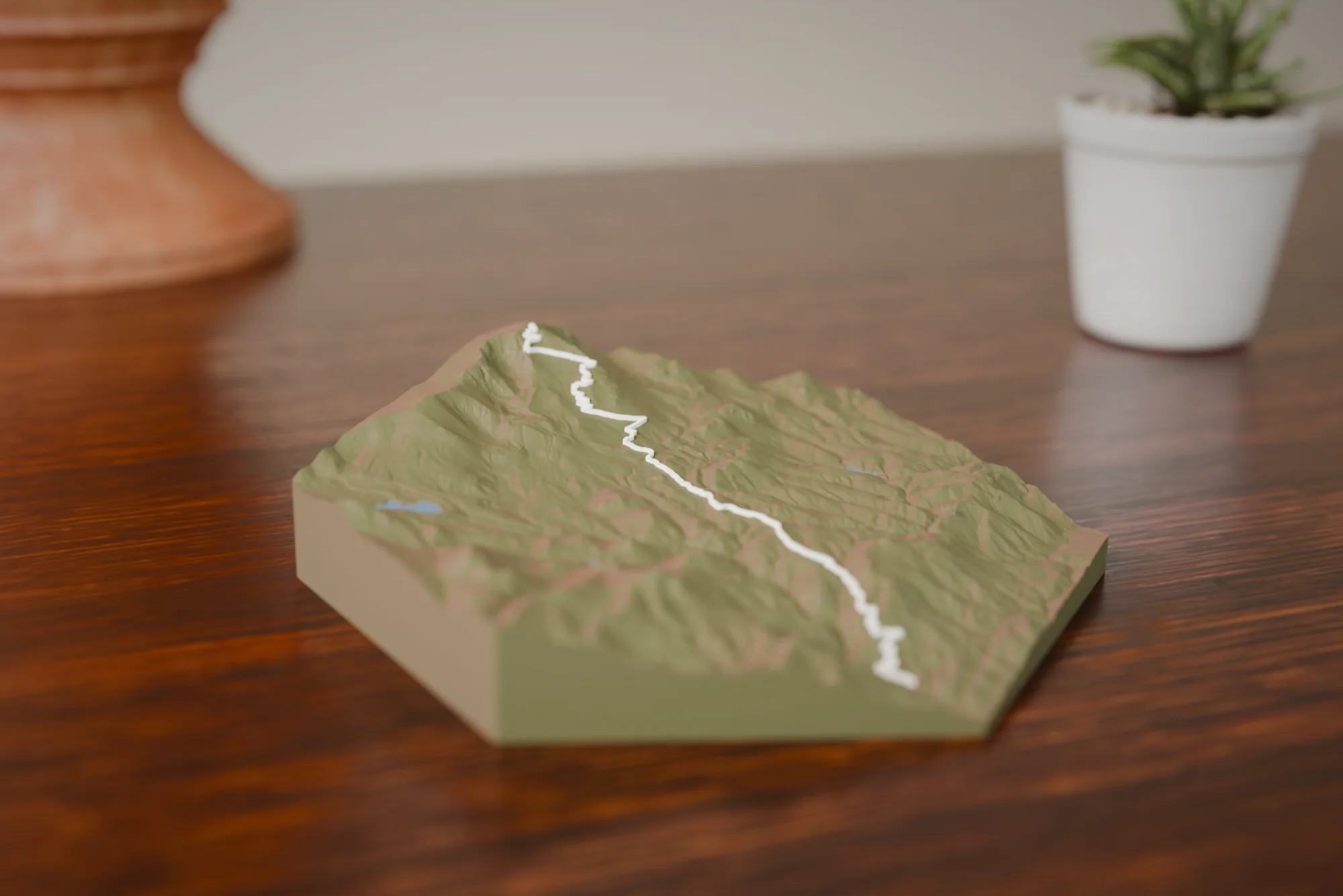
One ribbon from the valley floor to the summit, with the tight zigzag of the Ws low on the route and the long tundra traverse across the east face at the top. Pikes Peak stands alone above the plains, so the massif fills the piece. Around 7,500 ft of relief over 12 miles means big, readable vertical even in the small size.
Choose a style
Every sculpture is built from high-res elevation data
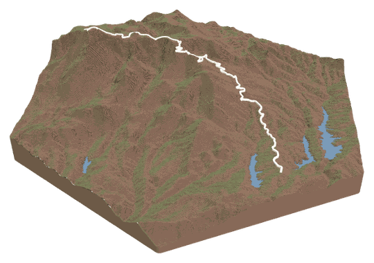 Topo + TrailYour trail across a topo landscape.FROM $49
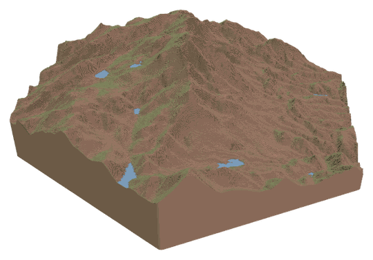 Topo OnlyA sculpture of your favorite place.FROM $49
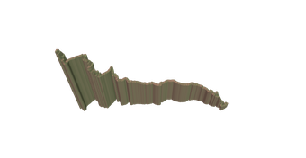 Trail OnlyYour trail's shape, climbs, and descents.FROM $39
Watch a tutorialWATCH ON YOUTUBE
Trail OnlyYour trail's shape, climbs, and descents.FROM $39
Watch a tutorialWATCH ON YOUTUBE
Choose your route
Search our verified library, add your own file, or let us design it for you.
A GPX or KML from Strava, Garmin, or AllTrails. Every switchback lands in exactly the right spot.
Add your route fileDrag & drop your .gpx or .kml file here, or click to choose How do I get my route file?
Add your route file
A GPX or KML from Strava, Garmin, or AllTrails.
Customize
Build and customize your sculpture
Customize your sculpture
Size
FREE USA SHIPPINGTerrain color
Trail color
Details
TAP TO ADDCheckout
Designed and built in Colorado · free USA shipping
Add it to your cart
Barr Trail FAQs
About this route and how it renders.
Is this the full trail or just the summit push?
The full trail: trailhead to summit, one way, about 12 miles. If you did the out-and-back, the down is the same line and renders once. If you did the Ascent or the Marathon, the race follows this trail almost exactly, so the sculpture matches your race.
Does it show the Incline?
The Manitou Incline is not part of the route, but its scar is right there in the terrain on the face of Mount Manitou, next to the Ws. If you came up the Incline and joined Barr Trail at the top, upload your own GPX and the ribbon will follow that instead.
Can I see Barr Camp and the A-Frame?
The route passes both, and the terrain shows the bench where Barr Camp sits and the treeline shoulder near the A-Frame. There are no labels on the sculpture, but anyone who has hiked it will place them by the shape of the trail.
Which size suits this route?
Because the route is a single long climb on one mountain, all sizes read well. Medium is the popular choice. Large and XL bring out the individual switchbacks of the Ws and the 16 Golden Stairs, which blur together at the smaller sizes.
FAQs
Routes, sizes, shipping, and engraving.